Photogrammetry
Lidar
Aircraft
UAV
Find a needle in a haystack
Detect common GCP styles reliably in aerial imagery at different resolutions and ground sample distances.
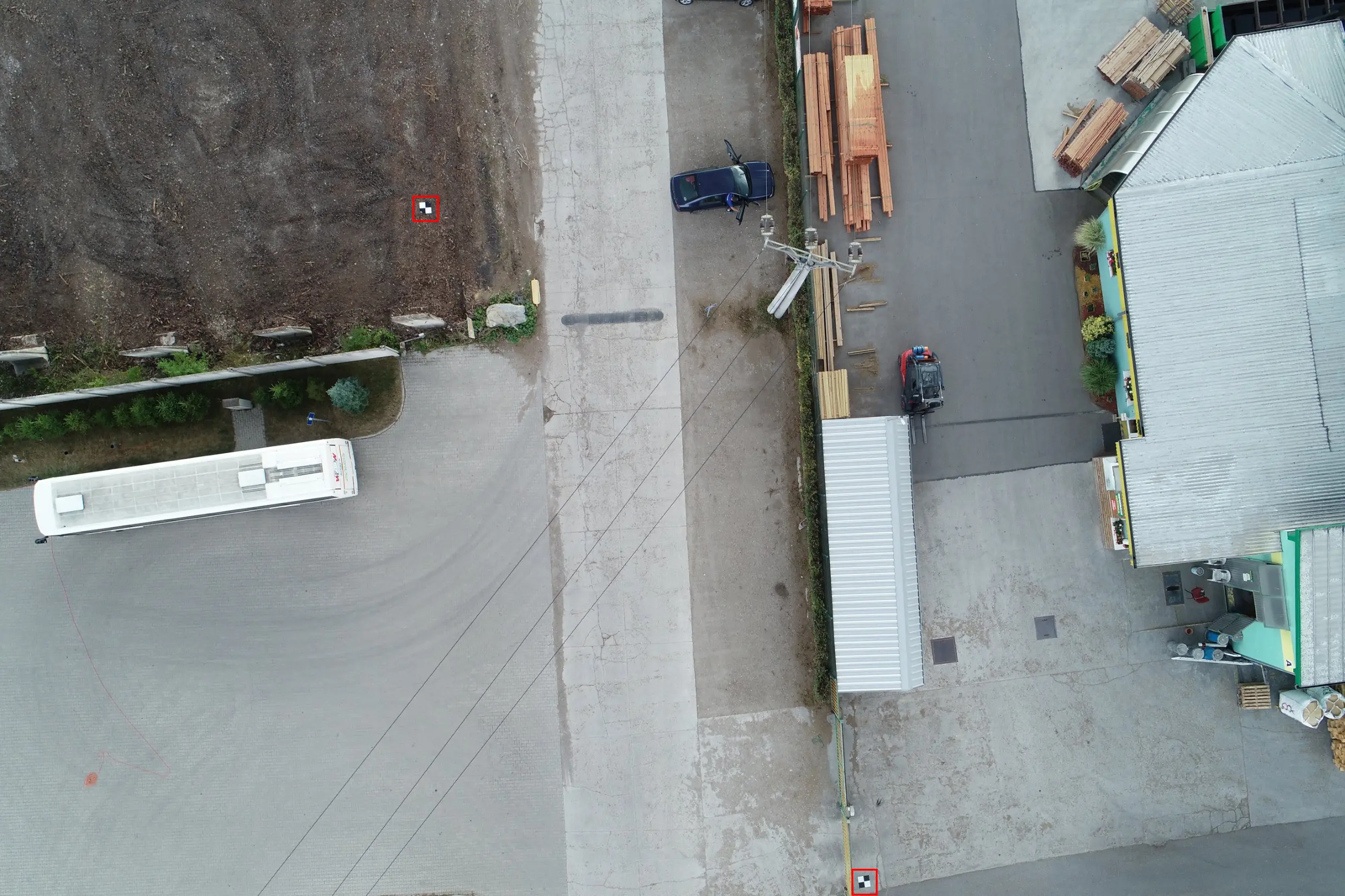
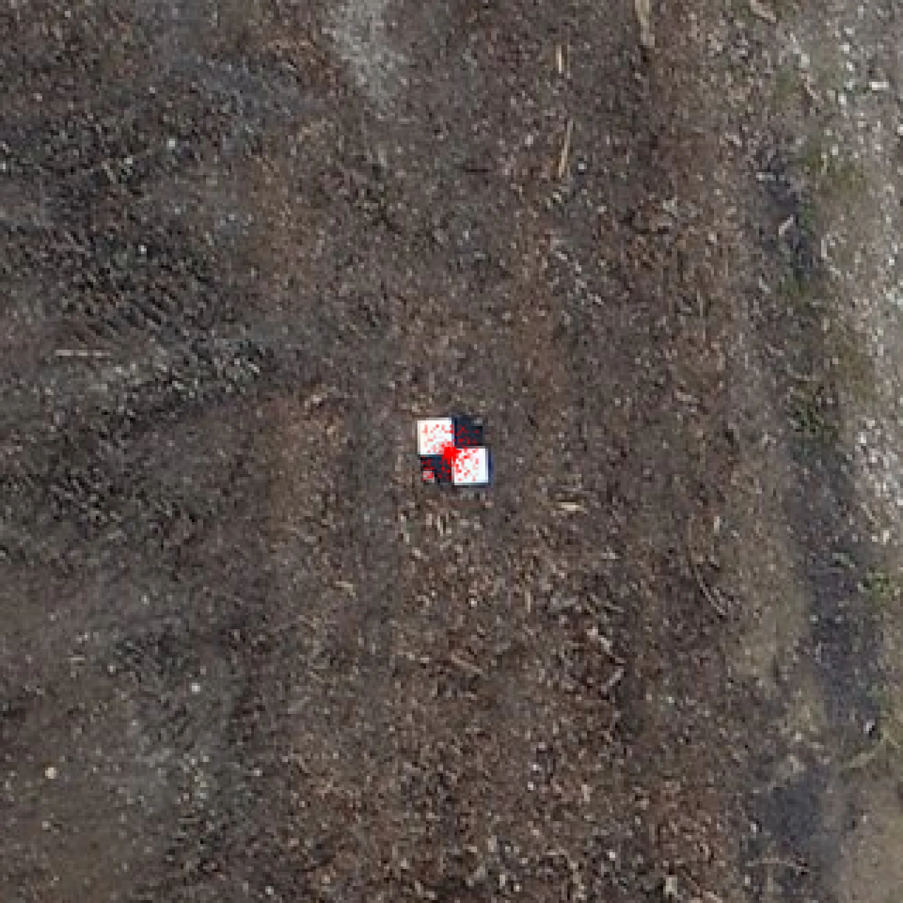
Hit the bull's-eye
Mark the center of GCPs consistently with sub-pixel precision for highly accurate 3D reconstructions.
How it works
Finding ground control points in images and marking their precise center is a repetitive task and the physical marker will generally follow one of a known set of similar patterns. This makes it a perfect use-case for machine learning or what is sometimes referred to as specialised artificial intelligence. By training a neural network algorithm on large amounts of examples, it can be made to understand the general nature of the problem and learn to find the exact GCP center in a matter of milliseconds with the same reliability and precision as a human would. The resulting model can then be deployed directly as part of a processing script or via a web API to integrate it with your GIS data processing workflow.

Tell us about your use-case
To understand how we can help you add GCP detection and/or marking to your workflow, we will need to get an idea of your specific requirements and constraints.
- Compute: Does your workflow require detecting and/or marking GCPs on a desktop computer or on a cloud server?
- Data: How much training data in the form of images and marked pixels do you have access to and in what format?
- Privacy: What are the privacy and security restrictions with respect to the data?